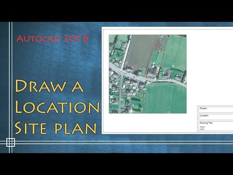
In this video I explain how to draw a location site plan by inserting an external image. I show you how to scale the image, trim in and drawing some details more.
Autocad 2018 - How to draw a Location Site Plan
In this video I explain how to draw a location site plan by inserting an external image. I show you how to scale the image, trim in and drawing some details more.
Credit : CAD in black
In this video I explain how to draw a location site plan by inserting an external image. I show you how to scale the image, trim in and drawing some details more.

Contents:
-Download image from Google Earth 0:16
-Import image to the drawing 1:21
-scale the drawing 2:25
-Draw the location plan 4:45
-Draw the legend 8:55
Credit : CAD in black


COMMENTS